The plan was to car camp at the Wire Pass Trailhead the night before we ventured back into The Wave. I did some research to find out what hikes we could explore in Vermillion Cliffs National Monument the day before our hike. I found a treasure trove of photos and blog posts sharing the phenomena called White Pocket.
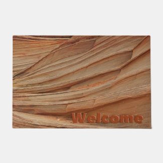
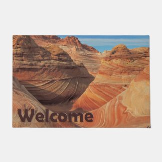
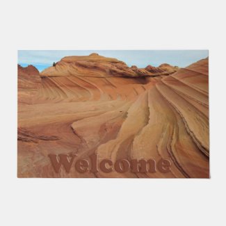
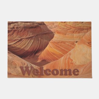
We hestitantly traversed the four-wheel-drive-only road 30-some-odd miles from the Wire Pass Trailhead and found, to our delight, beautiful rock formations every bit as photogenic as The Wave. And we had the entire place to ourselves the whole day!
After something like 600 photos and approximately four miles of hiking and rock scrambling, we headed back to the Wire Pass Trailhead, this time not quite as squeamish about the deep sand road, as our confidence strengthened during the morning drive.
Instead of car camping in a parking lot, we stayed the night at the Arizona State Line Campground, with real restrooms and picnic tables! This previously unknown (to us) gem is the finish line (or jumping off point, depending on direction of travel) for cyclists (and other trail enthusiasts) doing the AZT, or the Arizona Trail, the southwest version of our very own Colorado Trail back home.
The Colorado Trail encompasses about 500 miles from Waterton Canyon (just outside the Denver metro area) through the Rocky Mountains and skirting some of our famous fourteeners (mountains higher than 14,000 feet) to Durango.
The Arizona Trail is even longer, reaching from the Mexican border to the Utah border across more than 800 miles. It may not climb as high as the Colorado Trail, but it reaches the depths of the Grand Canyon!
We didn't see any hikers or cyclists finishing the epic trail during our brief stay, but it was quite energizing to know what kind of emotions must have been experienced right there, in our camp spot, the first one trail finishers would hit, as cross-country adventurers reached the end of a long, challenging journey.
We've been to The Wave twice now, and we're not done. I don't know if we'll do the advance lottery again, but we would like to go back, and next time, segments of that Arizona Trail might be explored as well! Returning to White Pocket would be awesome, too!













Sure sounds like quite the spot as you were able to explore. can see why you'd want to go back too. Quite the view
ReplyDeleteStunning stunning stunning photos, Deb!!! (I'm especially fond of Moqui marbles). :) All of your photos from this trip are absolutely GORGEOUS! I am so VERY envious!
ReplyDeleteSuch awesome pictures! I see so many afghans in those pictures....ripples....oh where is my crochet hook? :)
ReplyDeleteblessings always
I'm glad that I didn't miss this, SC! Great shots, and I love that collage. I have no idea how you created it, but it's beautiful!
ReplyDeleteYou are now the second person to tell me that there are spots every bit as gorgeous as the Wave in that area. My other friends have recommended that we go to the area to enjoy other stuff besides the Wave, and maybe we'll get the bonus of a walk-up permit for the Wave. (We just lost the lottery again for May - the umpteenth time we've entered the lottery)...
ReplyDeleteYour photos are incredible. It looks like an absolutely stunning area, and you did it great justice with your photo skills! Unfortunately, I doubt that dogs are allowed there so we will probably never see it in person... but I am on the hunt for other areas near the wave!
I'm dying to know what that curly thing is in the collage (center photo, second from bottom).
ReplyDeleteI love these photos - not just the foregrounds but the backgrounds too. Seems like it would take many happy years to see everything there is to see there.
I can't imagine cycling through the Grand Canyon.... :)